Freya Butler · 3 October 2026
Hikers Uncover Rivena’s Ancient Trade Routes Through Community-Led Expeditions
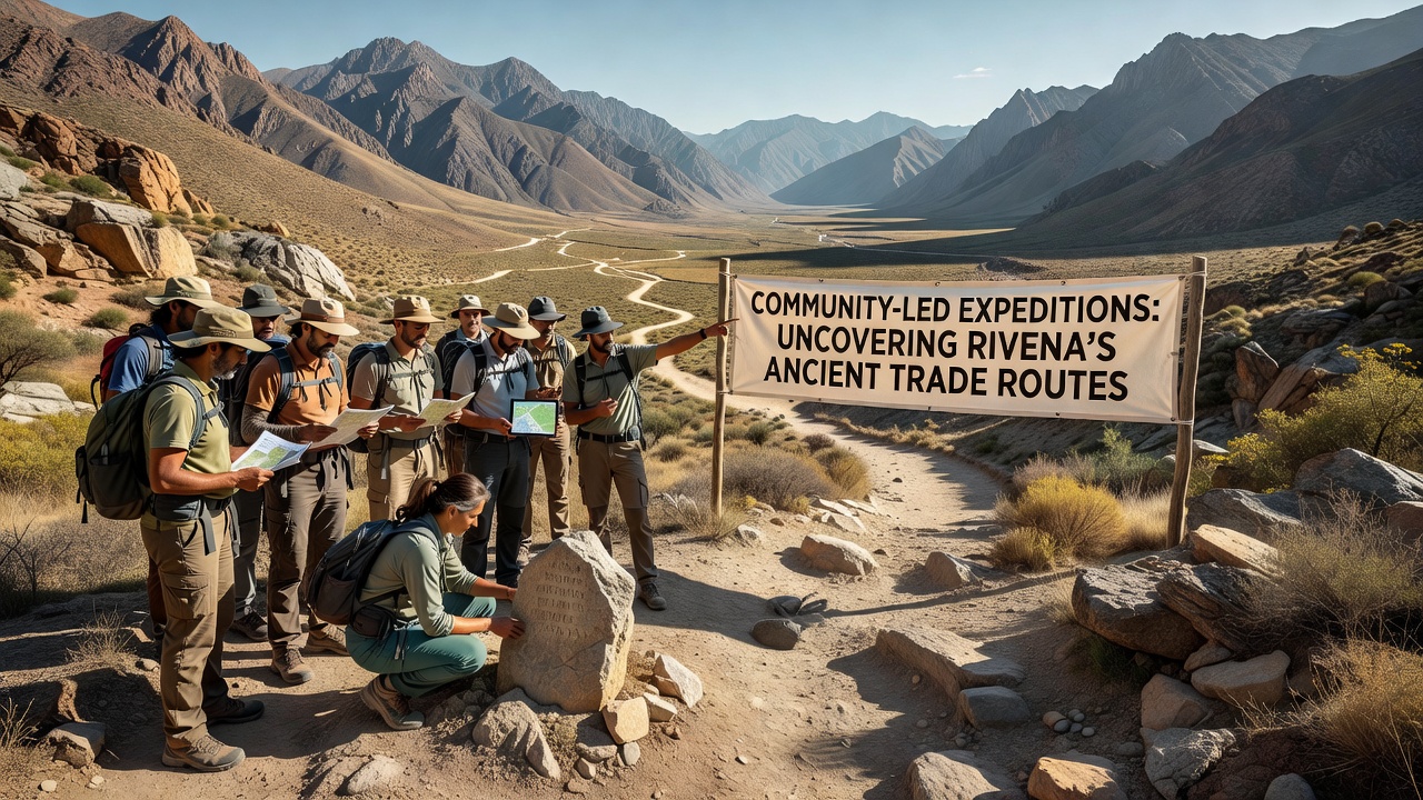
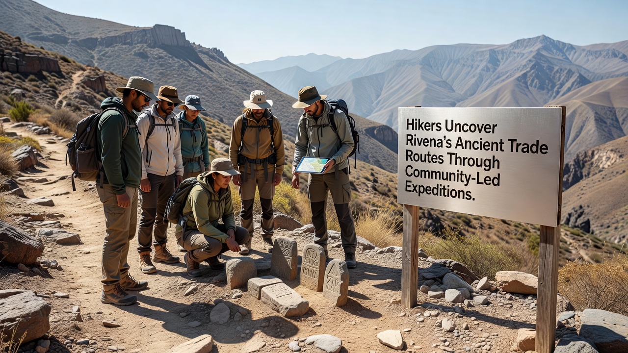
Community members in Rivena have organized expeditions that combine local knowledge with systematic documentation to trace long-forgotten trade corridors through the region's valleys and highlands. These routes once connected settlements across mountainous terrain and facilitated exchanges of goods such as metals, textiles, and ceramics between inland communities and coastal ports. Participants record GPS coordinates, photograph visible remnants like carved stones and terraced pathways, and cross-reference findings with archival maps held in regional libraries. Expeditions operate on a volunteer basis with participants contributing their own equipment and sharing data through open-access digital platforms. Groups meet monthly to plan routes, divide tasks such as photography and note-taking, and review safety protocols before heading into remote areas. Coordination relies on local hiking clubs that maintain contact with forestry officials to secure permits for off-trail segments. Findings from these outings include clusters of inscribed markers that align with descriptions in 18th-century merchant ledgers preserved at the Rivena Historical Archive. One expedition in the northern foothills identified a series of waystations spaced at intervals consistent with one-day travel distances for pack animals. Soil samples collected near these sites later underwent analysis at a university laboratory in Berlin, confirming traces of carbonized grain and dye residues that match patterns documented in similar European trade networks.Expansion of Field Methods
Participants employ drone surveys alongside traditional compass readings to create layered maps that highlight elevation changes and water sources along suspected corridors. Data from these surveys feed into geographic information systems maintained by a consortium of European heritage organizations. The approach allows researchers to overlay modern satellite imagery with historical sketches, revealing alignments that had remained obscured by vegetation growth over decades. Training sessions held at community centers cover basic stratigraphic observation and artifact handling procedures. Volunteers learn to distinguish between natural rock formations and modified surfaces used for load-bearing or drainage. These skills enable teams to flag potential excavation sites for follow-up by professional archaeologists without disturbing the ground during initial reconnaissance. In October 2026, several groups plan to extend coverage into the eastern ridges where previous surveys stopped due to seasonal weather constraints. Organizers have scheduled joint sessions with specialists from the Archaeological Institute of America to refine documentation standards and ensure compatibility with international databases.