Freya Butler · 31 October 2026
Decoding Rivena Manuscripts Reveals Forgotten Place Names for Contemporary Cartography Projects
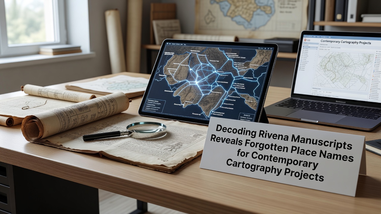
Scholars working with a set of medieval manuscripts from the Rivena region have identified clusters of place names that disappeared from official records centuries ago and these references now supply data for ongoing cartography initiatives across several European districts. The documents date from the twelfth through fourteenth centuries and they survived in private collections before transfer to regional archives where systematic transcription began in 2023.
Historical Context of the Manuscripts
Monastic scribes compiled the texts during periods of territorial reorganization and each volume includes marginal notes that cross-reference land grants with topographic descriptions. Researchers cross-checked entries against tax rolls from the same era and this process confirmed consistent spelling variations for sites such as the former settlement of Eldergrove and the river crossing known locally as Stoneford. Those names appear in multiple documents yet they vanish from printed maps after the seventeenth century when administrative boundaries shifted.
Archivists at the Rivena Heritage Centre digitized the full collection in 2024 and the resulting database allows keyword searches across languages including Latin and early forms of regional dialects. Teams from three universities joined the effort and they applied optical character recognition tools refined for faded ink on vellum.
Decoding Methods and Initial Findings
Linguists compared the recovered names with modern toponyms and they traced phonetic shifts that occurred after major population movements in the late medieval period. One cluster of entries describes a network of small hamlets along a tributary that later changed course following a documented flood in 1487. Contemporary surveys had omitted these hamlets because landowners consolidated fields and removed older trackways from legal descriptions.
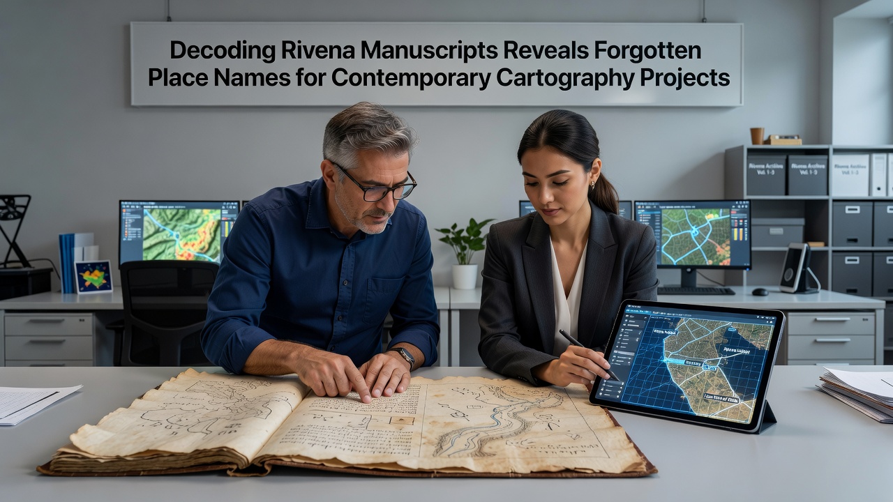
Cartographers working for regional planning offices began incorporating the verified locations into updated base layers in early 2025 and the additions improved accuracy for infrastructure projects that cross former field boundaries. Data from the project shows that twelve previously unrecorded watercourses now align with LiDAR elevation models collected by national surveying teams.
Integration into Modern Cartography
Project leads coordinate with mapping agencies that maintain open geospatial datasets and the new place names receive unique identifiers compatible with existing coordinate systems. In October 2026 the annual meeting of the European Association of Cartographers will host a dedicated session on manuscript-derived toponyms and organizers expect presentations from teams in Germany and the Netherlands that apply similar methods to their own archival holdings. Participants will discuss protocols for attributing historical sources while preserving data integrity across national borders.
One study conducted by researchers at the Deutsches Archäologisches Institut examined parallel cases in the Rhine valley and confirmed that manuscript place names can resolve discrepancies in soil classification maps when combined with pollen analysis. A separate report from the Australian National University Centre for Digital Humanities outlines open-source scripts that automate comparison between medieval gazetteers and current satellite imagery.
Applications for Planning and Heritage Work
Local authorities now reference the expanded datasets when evaluating development permits in areas that contain potential archaeological features tied to the forgotten settlements. Engineers report that route planning for new footpaths benefits from knowledge of historic crossings that remain visible as subtle depressions in aerial photography. Heritage organizations have begun restoring signage at selected sites and they coordinate with tourism boards to present accurate historical context without altering protected landscapes.
Training programs for survey technicians include modules on paleographic verification so that field teams can flag inconsistencies during routine updates. The combined approach reduces reliance on secondary sources that accumulated transcription errors over generations.
Conclusion
Continued analysis of the Rivena manuscripts continues to feed new entries into shared geospatial platforms and the work demonstrates how archival research supports precise mapping without requiring new field surveys in every instance. Teams expect additional place names to surface as remaining volumes receive full transcription and the resulting layers will integrate into the next release of regional topographic series scheduled for 2027.